


Carriage Voting District, King County, Washington
About
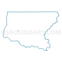
Outline

Summary
| Unique Area Identifier | 685770 |
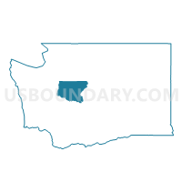
| Name | Carriage Voting District |
| County | King County |
| State | Washington |
| Area (square miles) | 0.08 |
| Land Area (square miles) | 0.08 |
| Water Area (square miles) | 0.00 |
| % of Land Area | 100.00 |
| % of Water Area | 0.00 |
| Latitude of the Internal Point | 47.43941890 |
| Longtitude of the Internal Point | -122.14063510 |
Maps

Graphs
Select a template below for downloading or customizing gragh for Carriage Voting District, King County, Washington


Neighbors
Neighoring Voting District (by Name) Neighboring Voting District on the Map
- Aria Voting District, King County, WA
- Candlewood Voting District, King County, WA
- Carriage Lane Voting District, King County, WA
- Elizabeth Voting District, King County, WA
- Lake Youngs Voting District, King County, WA